Western Alaska Minerals: Developing Critical Minerals & High-Grade Silver Resources
Western Alaska Minerals is advancing a prolific 8-km mineral corridor hosting two significant deposits. Our flagship high-grade silver deposit at Waterpump Creek, which contains gallium (the U.S. #1 critical mineral), and the historic Illinois Creek mine anchor our 100% owned carbonate replacement system across an expansive, underexplored landscape.
- Waterpump Creek: 75 Moz @ 980 g/t AgEq (Inferred), open for expansion north and south
- Illinois Creek: 525 Koz AuEq - 373 Koz @ 1.3 g/t AuEq (Indicated), 152 Koz @ 1.44 g/t AuEq (Inferred)
- 2024 "Warm Springs" Discovery: First copper, gold, and Waterpump Creek-grade silver intercepts 0.8 miles from Illinois Creek
2025 Focus: Targeting additional high-grade silver discoveries at Waterpump Creek South and initiating studies on gallium recovery potential.
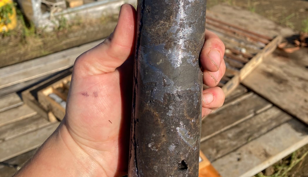

Photos: Drill hole WPC21-09 (left) cut 10.5m (9.1m TT) of 522 g/t Ag, 22.5% Zn and 14.4% Pb of massive sphalerite and argentiferous galena. This high-grade CRD mineralization extends 495m south, remains open to the north, with widths ranging from 5 to 101 meters. Right image: 2024 Warm Springs drill core.