Large-Scale, High-Grade CRD
Western Alaska Minerals has made a new discovery at its Illinois Creek project. 2024 drilling unveiled two gold zones and a high-grade silver zone, potentially representing a new 'spoke' of CRD mineralization along the 8-kilometer trend. The discovery is bookended by two resources:
Waterpump Creek: 75 Moz at 980 g/t AgEq (Inferred, Feb 2024*), and open to the north.
Illinois Creek: 525 Koz Au Eq total - 373 Koz at 1.3 g/t AuEq (Indicated) and 152 Koz at 1.44 g/t AuEq (Inferred) (Updated Feb 2024*).
2024 New Discovery at the “Warm Springs Target”: First copper, gold, and Waterpump Creek-grade silver intercepts located 1.4 km from Illinois Creek.
Our 73,120-acre (114.25 sq mi) claim package on mining-friendly state land also includes the promising Round Top copper and TG North CRD prospects, located 25 km northeast of Illinois Creek.
*See NI 43-101 report February 2024
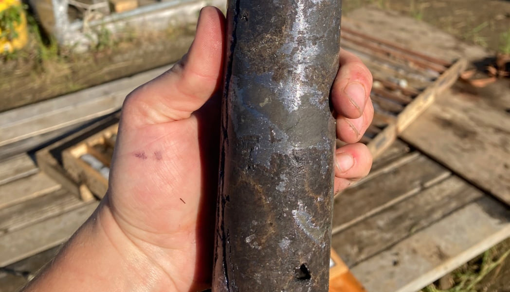

Photos: Drill hole WPC21-09 (left) cut 10.5m (9.1m TT) of 522 g/t Ag, 22.5% Zn and 14.4% Pb of massive sphalerite and argentiferous galena. This high-grade CRD mineralization extends 495m south, remains open to the north, with widths ranging from 5 to 101 meters. Right image: 2024 Warm Springs drill core.